
As part of its collaboration with CIFOR, R&SD carried out an aerial drone mapping campaign over 10 districts of Yangambi, in the Democratic Republic of Congo.
The aim of this operation was to produce high-precision orthophotos to facilitate site management and development by INERA, the owner of the land and buildings.
Overflights were carried out using an RTK (Real-Time Kinematic) drone, coupled with ground reference stations, guaranteeing optimum geographic accuracy.
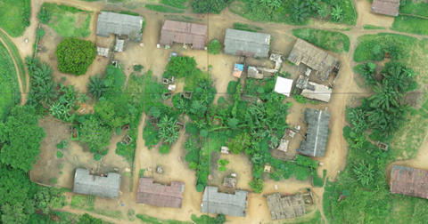
Extract from the orthophoto of the Manzikala district.
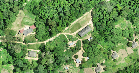
Extract from the orthophoto of the Isalowe district.